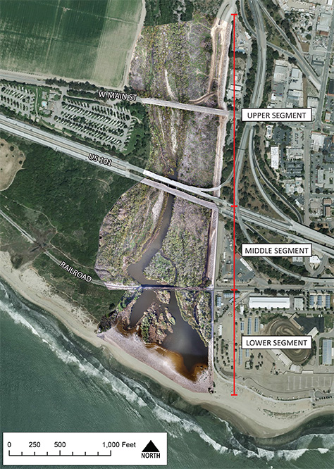
We provide aerial photography and mapping using unmanned aircraft systems (UAS), or drones. Mr. Walls is a FAA Part 107 certified Remote Pilot for Small Unmanned Aircraft Systems (sUAS).
These services include:
High-resolution mapping & orthomosaic production
UAV-based LiDAR
Digital terrain modelling
Monitoring photos for vegetation, construction, etc.
Environmental compliance
Rooftop / as-built mapping
Real-estate / architectural photography
Structure modelling
Aerial videography

San bar mapping on the Apalachicola River, Florida.